Sand, Clay and Groundwater: The Ground Under South Bend Foundations
South Bend's foundations sit on some of the sandiest ground in Indiana, which is why the trouble here is more often water than swelling soil. This guide uses USDA soil records and Indiana Department of Natural Resources groundwater reports to show what lies under a typical lot.
Of 49 USDA soil-map points sampled around downtown South Bend, 25 fell in urban land mixed with Tyner sand, which the USDA calls excessively drained. Across St. Joseph County, about half the soil acreage is rated very limited for houses with basements, most often because of a high water table.
Why is so much of South Bend sandy?
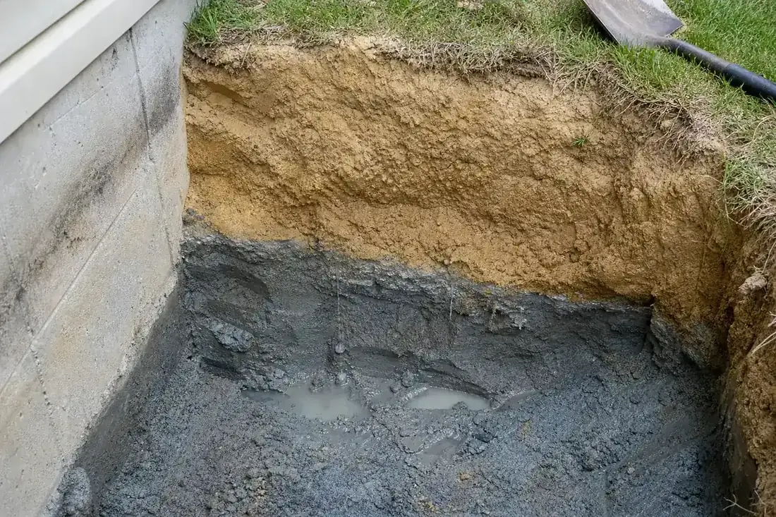
Meltwater from retreating glaciers spread sand and gravel across the St. Joseph River valley. The USDA describes Tyner soils as very deep and excessively drained, formed in sandy outwash on outwash plains and terraces. The Indiana Department of Natural Resources describes the St. Joseph Aquifer System, which supplies the area's wells, as fine to medium sand with zones of coarse sand and gravel. Water moves through that kind of ground quickly, so a well-graded lot on high sand drains well.
The clay you cannot see from the yard
Below the sand the picture changes. The same DNR report notes thick clay deposits beneath the surface sands and gravels in places around South Bend and Mishawaka, and describes surface sand and gravel above 20 to 100 feet of clay and glacial till in parts of the South Bend area. Where clay sits close below a basement, water that drains down through the sand can collect on top of it and press on the lower wall. USDA records for Crosier soil, a common county type formed in till, describe a perched water table within half a foot to a foot and a half of the surface for part of normal years.
Wet lowlands and pockets of muck
Gilford soil, whose reference site lies about six miles east and three miles north of South Bend, fills broad, closed depressions on outwash plains; its water table sits between 6 inches above ground level and 12 inches below it from December through May. Houghton muck, more than 51 inches of decayed plant material in depressions and drainageways, covers about 3% of the county's soil acreage. A basement in a Gilford hollow fights water every spring, and a footing on muck can keep settling.
How does the USDA rate St. Joseph County soils for basements?
The county soil survey rates each soil for dwellings with basements. Weighted by acreage, about 50% is very limited, 35% not limited, 2% somewhat limited and 13% not rated (urban land, water and fill). The most common reason for a limited rating is depth to a saturated zone, followed by ponding, shrink-swell and subsidence. You can look up your own lot on the USDA Web Soil Survey. Repairs that follow from these soils are covered under basement waterproofing and settling foundations.
Frost depth and snow load in the code
The 2020 Indiana Residential Code sets St. Joseph County's minimum footing depth at 36 inches below finished grade and its ground snow load at 30 pounds per square foot; Marion and Hamilton counties, around Indianapolis, are rated 30 inches and 20 pounds. Both numbers reflect the colder, snowier north of the state, and both matter when a porch, addition or new footing is built.
What is the house doing?
A crack you keep checking, water along the floor after the snow melts, a porch pulling away: one or two sentences is plenty. It goes to one independent foundation and waterproofing specialist who works in South Bend.